Urban Construction Monitor
Construction drives demand for materials, logistics, housing and risk — but nobody has a current map of it. Permit registries lag by months and miss a large share of real activity; most European cities publish no usable registry at all. Monitoring a metro with commercial high-resolution imagery costs more than $100,000 per city per year.
Urban Construction Monitor closes that gap — globally, at a fraction of the cost. We detect construction sites from satellite imagery across the whole metro, estimate when each site started and whether it is still active, and verify detections against the building register.
In our verified tier, independent human audits in two previously unseen cities confirmed ~85–93% of top-100 sites as real construction.
Four Dutch metros are live today — Amsterdam, Utrecht, Den Haag, Eindhoven — with a monthly history from January 2018. Any global metro can be added.
What makes the approach strong
Universal across continents — built on a planet-wide satellite stack and validated in cities the models had never seen before — across the Netherlands, the UK, France and the US.
Large-scale — every ~100 m of a whole metro area, every month — measured coverage, not a sample or survey.
Historical coverage — back to Jan 2018; a new city arrives with ~8 years of history on day one
Parcel-level — cadastre-snapped outlines matching the land units clients already work in
What you get
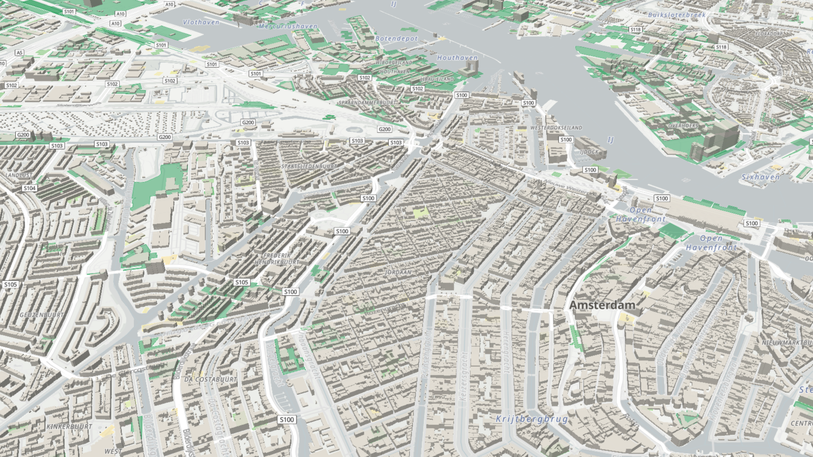
Interactive monitor — city heat map to individual sites, monthly timeline, 3D view
Verified site list — parcel-level polygons, estimated start, size and status
Early-warning signals — detections that haven't reached any register yet
Exports & API (licensed tiers) — GeoJSON for your GIS and models
Try it on sample cities
Two-week trial, full product — Amsterdam, Utrecht, Den Haag and Eindhoven. Company email required.
Trusted by global institutions and industry leaders